San
Mateo County Poor Farm and Hospital
Maps
At
various times, this facilitiy was known by various names such as the San
Mateo County Almshouse, the San Mateo County Hospital and Poor Farm, and
the San Mateo County Relief Home (among others). It was located near
what is now the intersection of Highway 280 and 92.
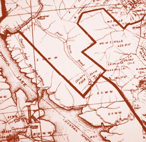
1894
"Poor
Farm Road" as shown on this map is now Polhemus Road, turning onto Tower
Road at the southern end.
1896
"Alms
House Canyon" as shown on this map is now Polhemus Road, turning onto Tower
Road at the southern end.
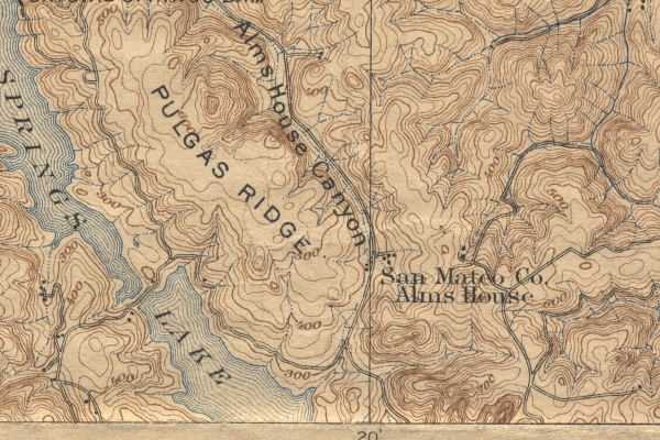
San
Mateo 15-minute Quadrangle, U.S. Geological Survey, 1896
Historic
Topographic Maps of California, Earth Sciences & Map Library, UC Berkeley
http://sunsite.berkeley.edu/histopo/
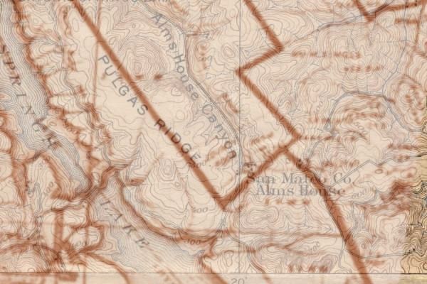
"Blended" map layering the 1894 and
1896 maps
2005
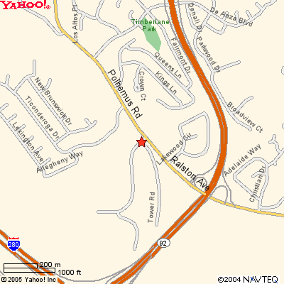
Yahoo! Maps
Return
to San Mateo County Hospital and Poorfarm
Return
to San Mateo County History
Return
to San Mateo County Genealogy
© Copyright 2005 Pamela Storm.
All rights reserved.